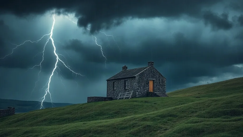



Cyprus braces for rain, storms and hail from Sunday night
A western disturbance is set to bring unsettled conditions to the island from late Sunday, with thunderstorms, possible hail and stronger winds expected into next week.

Cyprus is in for a stretch of turbulent weather starting late on Sunday, according to the met office, as reported by Cyprus Mail. A weak low-pressure system sits over the region, while a disturbance moving in from the west should reach the island overnight on Sunday.
Saturday itself stays largely pleasant in the early hours, though cloud cover will build as the day wears on and the sky turns partly to mostly overcast. A few spots of light rain over the mountains are not out of the question. Daytime highs should reach about 30C inland and along the southern and eastern coasts, 28C in the west and north, and 23C at higher altitudes. Winds start out light and variable at 3 Beaufort, later swinging mainly to the southwest and northwest at 3 to 4 Beaufort, with a temporary boost to 4 to 5 Beaufort along the southwest coast in the afternoon. Overnight, cloud will thicken at times and temperatures will drop to roughly 18C inland, 20C on the coast and 11C in the mountains.
Sunday brings partly to at times fully cloudy skies, with scattered showers expected after midday, chiefly in the mountains. The real turn comes late on Sunday night and into Monday, when local rain and isolated thunderstorms first hit western and northern parts before moving across the rest of the island. Hail may accompany the storms, and winds will shift direction and pick up strength.
Monday stays mostly cloudy with spells of rain and scattered thunderstorms. In the afternoon the worst of the weather shifts to the mountains and the eastern half of the island, where hail is again a possibility during storms. Winds will strengthen considerably, especially in exposed coastal spots.
The unsettled pattern carries into Tuesday, with largely cloudy skies, local rain and isolated thunderstorms at intervals. Temperatures edge down slightly on Monday and hold steady on Tuesday, ending up a touch below the usual average for the season.
What it means for residents
The coming days will test routines across the island, from school runs to open-air plans, so it pays to plan around the forecast rather than fight it.
- On the roads: Heavy showers, hail and gusty winds raise the risk of slippery surfaces, standing water and reduced visibility, so allow extra time and take care on coastal routes.
- At home: Secure loose items on balconies and terraces, check that drains and gutters are clear, and bring in anything that could be blown around by stronger winds.
- Outdoors: If you have mountain walks, boat trips or outdoor events booked for Sunday night through Tuesday, keep an eye on updates and be ready to reschedule.
This text is written from the source article and is not a translation of it.