


Adriatic low to bring rain, storms and cooler air to Cyprus
Cyprus faces a wet week: showers and thunderstorms from Monday, turning heavier from Wednesday afternoon as a low from the Adriatic arrives, with temperatures dropping below the seasonal norm by Thursday.

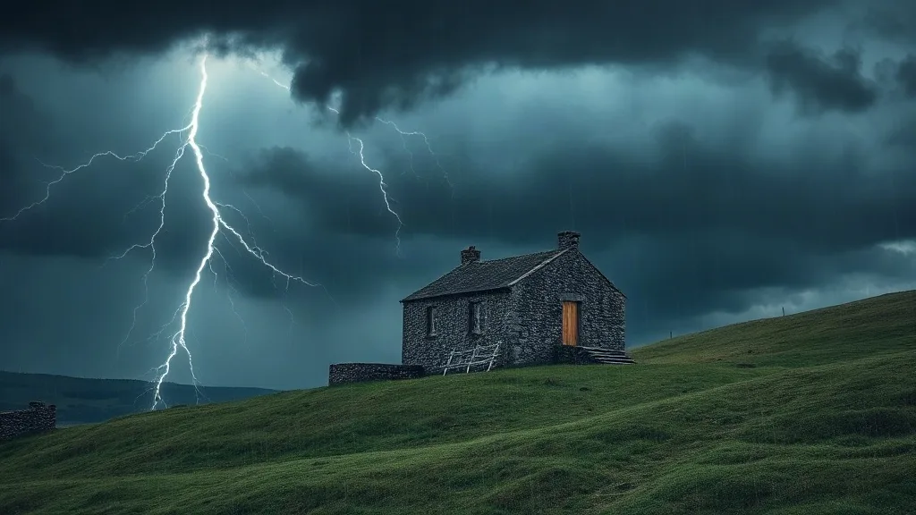
Cyprus is in for a unsettled stretch of weather, with the Department of Meteorology warning that rain and thunderstorms will affect the island from Monday through at least Thursday. Conditions are set to take a turn for the worse from Wednesday afternoon, when a low-pressure system tracking south-east out of the Adriatic Sea is expected to reach the island, as reported by Cyprus Mail.
Monday starts with partly to at times mainly cloudy skies, and isolated showers early on, with a thunderstorm possible mainly along the western and north-western coasts. Building cloud after midday could trigger further isolated showers or a thunderstorm, chiefly over the mountains as well as in the north and inland, while winds turn variable and reach up to 5 Beaufort. Inland highs will hover near 30C, the coast around 28C and the higher mountains about 20C.
Tuesday stays at similar temperatures before a gradual decline sets in, leaving Thursday cooler than the seasonal average. Wednesday looks mainly cloudy with local rain and scattered thunderstorms, particularly across the western half of the island, deteriorating from the afternoon in the west and then spreading, with some downpours or storms possibly heavy or drawn out; Thursday remains cloudy with further local rain and isolated storms.
What it means for residents
For anyone living on the island, the main practical effect is a week of disrupted outdoor plans and trickier driving, especially once the heavier cells arrive midweek. The drop in temperature also means the first genuinely cool nights of the season are on the way, so it is worth checking that heating and warm clothing are within reach.
- Plan around the afternoons. Wednesday and Thursday look wettest, so shift errands, school runs and outdoor work to the morning where possible.
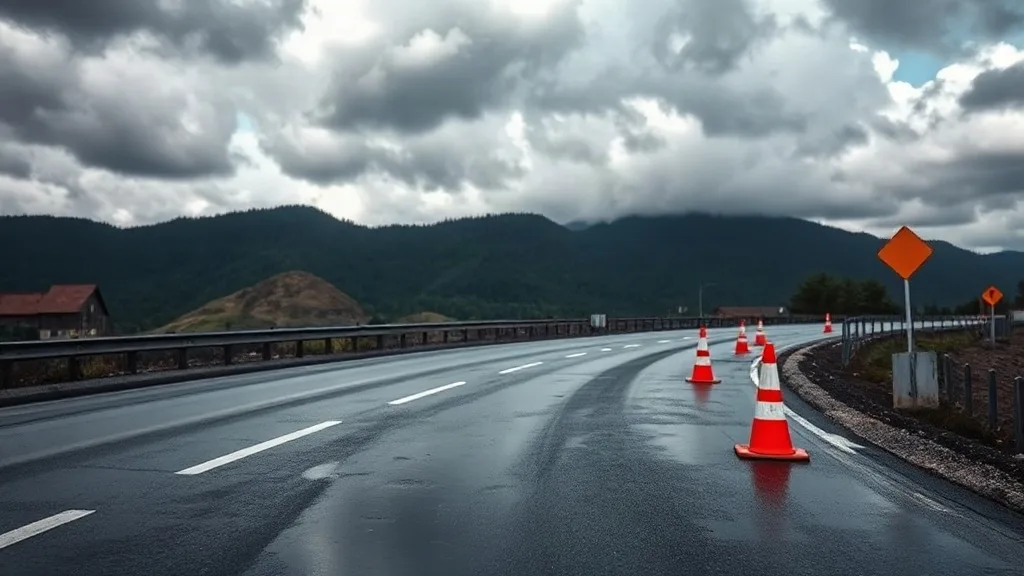
- Drive with care. Heavy or prolonged rain can leave roads slippery and prone to standing water, particularly on mountain routes and in the west.
- Watch the temperature drop. Below-average readings by Thursday mean an extra layer for early starts and a check on heating at home.
This text is written from the source article and is not a translation of it.