



Cyprus braces for wet spell as temperatures slip below average
A low-pressure system reaches the island on Wednesday, bringing spells of rain, scattered storms and cooler air through Friday, the Met Office says.
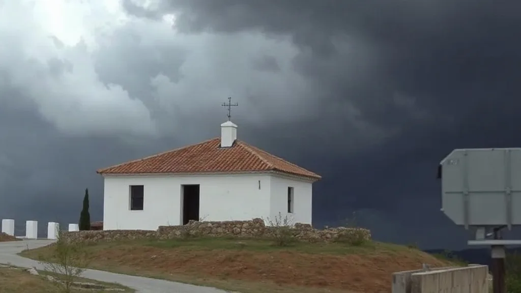
According to the Met Office, a low-pressure system will start influencing Cyprus on Wednesday. Rain, thunderstorms and a steady cooling trend are expected through the end of the week.
Tuesday itself stays mostly settled, though clouds will build at times and a stray shower or storm may develop in the afternoon, chiefly over the mountains and possibly inland. Daytime highs reach about 30C inland and on the south and east coasts, 28C in the west and north, and 19C at higher elevations.
From Wednesday to Friday the pattern turns unsettled, with cloudy intervals, local rain and isolated storms, mostly after midday; hail is possible during storms. Friday's weather may turn intense or prolonged in places, and temperatures will keep sliding below the seasonal norm.
What it means for residents
Commuters and anyone with outdoor plans should build in extra time and keep an eye on updates, since the heaviest activity is likely in the afternoon hours.
- On the roads: Wet surfaces and reduced visibility raise the risk of skidding, so allow more distance and slow down, especially on mountain routes.
- Outdoors: If you have errands, gardening or a school run, shifting them to the morning may help you avoid the worst of the showers.
- At home: Cooler nights are coming, so it is worth checking that heating and windows are ready for the dip.
This text is written from the source article and is not a translation of it.